


Background information
In June 2016, Council purchased 36 hectares of land in Westleigh from Sydney Water.
Located along the eastern side of Quarter Sessions Rd, the land had been earmarked by Sydney Water for housing, however Council’s plans were to provide for a range of recreational facilities and for the conservation of bushland.
Why did Council buy the land?
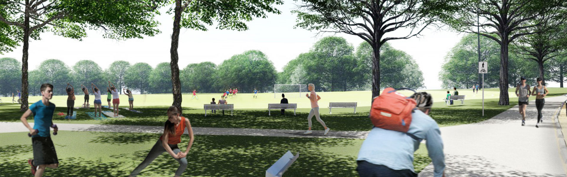
Council purchased the land in order to provide additional sportsgrounds in the future. Although formal sportsgrounds won’t be ready for some years, owning the land provides an exciting opportunity for Council to give residents what they're asking for. See Council’s Sportsground Strategy which highlights the demand for this site to be developed for sports. These new facilities will work towards addressing the current shortfall of sportsgrounds within the Shire.
The site will also be able to provide spaces for passive recreation, such as walking and picnics and unstructured recreation such as mountain bike trails.
What is there at the moment?
Currently about a third of the land is cleared, and this is surrounded by bushland which covers the remaining two thirds.
The site is bounded to the north by Dog Pound Creek bushland (BioBanking site), to the east by Waitara Creek bushland and to the west by Berowra Valley National Park. The site itself is home to several threatened species and five vegetation communities, including;
- Sydney Turpentine Ironbark Forest (Critically Endangered Ecological Community)
- Duffy’s Forest (Endanger Ecological Community)
- Scribbly Gum Open Woodland
- Bloodwood Scribbly Gum Woodland
- Peppermint – Angophora Forest
Council will work closely with experts to protect and enhance the significant environmental features of the site.
Unsanctioned mountain biking and walking trails have been established on the site for some time and Council has identified an alternative configuration to reduce the impact on sensitive vegetation.
What we've done so far
- 2000
Hornsby Leisure Strategic Plan - Stage 2 - 2002
Hornsby Leisure Strategic Plan - Stage 3 - 2006
Hornsby Sports Facility Strategy - 2011
Northern Sydney Regional Organisation of Councils – Regional Sportsground Strategy Review - 2016
Hornsby Shire Council buys the land from Sydney Water
Active Living Hornsby Strategy - 2017
Northern Sydney Regional Organisation of Councils – Regional Sportsground Strategy Review - 2018
Adoption of Sportsground Strategy
Hornsby Sportsground Strategy
North District Plan – Connecting Communities - 2019
Development of Westleigh Park Master Plan - 2020
Hornsby Local Strategic Planning Statement - 21 Apr to 16 Jun 2021
Exhibition of draft Master Plan - 14 Jul 2021
Adoption of draft Master Plan deferred - Mar and Jun 2022
Further community engagement - 2023
Northern Sydney Regional Organisation of Councils - Review of Supply and Demand for Sports Facilities - 13 Mar to 11 Apr 2023
Public Exhibition of revised draft Master Plan and draft Plan of Management - 14 Jun 2023
Adoption of Master Plan and Plan of Management - Jun to Sep 2023
Preparation of documentation for Development Application - 25 Sep 2023
Development Application lodged - Late 2024
Development Application determination
Anticipated commencement of procurement for construction tender (pending approval of DA)