


Water Catchment Projects
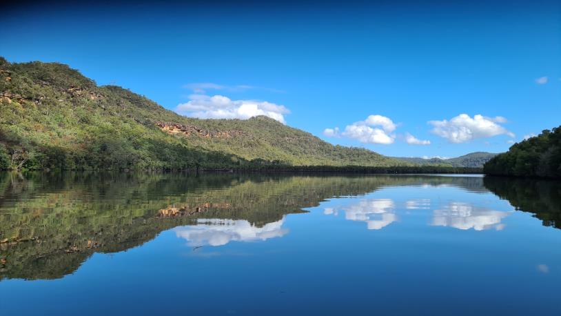
Hornsby Shire’s waterways are vital to our environment, lifestyle, and community wellbeing.
Hornsby Shire’s waterways are vital to our environment, lifestyle, and community wellbeing. That’s why we’ve launched a revised Catchment Health Program - a proactive initiative that combines science, action, and community care to keep our creeks and rivers healthy. The program includes:
- A Sentinel Monitoring Program: We’ve set up 15 monitoring sites across the Shire to keep a close eye on water quality. These sites act like environmental “check-ups,” helping us detect changes early and respond quickly to any potential issues.
- A Bespoke Catchment Health Program: In five key sub-catchments, we’re preparing to roll out targeted management actions to reduce pollution and improve waterway health. These efforts will be guided by data from our monitoring program - so every decision is backed by science.
Curious about how your local creek is doing? Explore our Water Quality Data Dashboard to view the latest health grades and learn more about what’s happening in your area.
Urban areas with heavy development often struggle with poor water quality in their creeks and rivers - a challenge known as Urban Stream Syndrome. In Hornsby Shire, this issue is especially relevant in our three main industrial precincts: Hornsby, Thornleigh, and Mount Ku-ring-gai.
These areas have historically contributed to pollution in nearby waterways. That’s why Council has launched a targeted program to improve water quality in these catchments through smarter monitoring, investigation, and action.
What We’re Doing?
- Our approach combines data, science, and collaboration to tackle pollution at its source:
- Analysing long-term water quality data to understand historical trends in industrial catchments.
- Profiling local businesses to assess their potential pollution risk using a risk-based framework.
- Tracing pollutants through the stormwater network to identify and address point-source pollution.
- Combining education and regulation to help businesses reduce their environmental impact.
Where are we at:
- Completed desktop research and historical data analysis
- Finished business profiling and pollution risk assessment in Mount Kuring-gai
Next steps:
- Begin business profiling and pollution risk analysis in Thornleigh and Hornsby industrial precincts.
By working together with local businesses and the community, we’re taking meaningful steps to protect our waterways and create a cleaner, healthier environment for everyone.
At Hornsby Shire Council, we’re committed to protecting our waterways through science, innovation, and collaboration.
We’ve teamed up with researchers from the University of Technology Sydney to investigate water quality issues in urban catchments. Starting July 2025, we’ll launch an intensive monitoring program in West Pennant Hills, using microbial source tracking to pinpoint sources of contamination linked to sewer and stormwater infrastructure.
This research will help us better understand what’s impacting our waterways—and guide targeted actions to improve water quality where it’s needed most.
We’re also keeping a close eye on the health of the Hawkesbury estuary through a network of real-time monitoring stations. These stations provide up-to-date information on:
- Overall estuary health
- Swimming conditions
- Algal bloom alerts
View HawkesburyWatch Dashboard
This ongoing program ensures we can respond quickly to changes and make informed decisions to protect one of our region’s most important natural assets.
Between 2021 and 2022, eastern Australia experienced a series of devastating floods that left a lasting impact on our natural landscapes. One of the hardest-hit ecosystems was our mangrove forests—vital coastal habitats that help stabilise shorelines, filter water, and support marine life.
In the Hawkesbury River, these floods caused widespread thinning and dieback of mangroves across multiple estuaries. In response, Hornsby Shire Council’s Catchments team launched a long-term Mangrove Health Assessment to monitor the damage and track signs of recovery.
What We’re Doing?
- Annual Visual Surveys - Every year, we assess mangrove health along 33 kilometres of shoreline, from Bar Point to Wisemans Ferry, documenting areas of dieback and regrowth.
- Long-Term Monitoring Sites - We’ve established eight dedicated monitoring sites across the river, each representing different levels of flood impact. At these sites, we track three key indicators of mangrove health:
- Seedling numbers
- Pneumatophore density (the aerial roots that help mangroves breathe)
- Canopy cover
This data helps us understand how mangroves are responding over time and guides future restoration and protection efforts.
Why It Matters?
Healthy mangroves are essential for clean water, climate resilience, and biodiversity. By monitoring their recovery, we’re not just protecting trees—we’re safeguarding the entire river ecosystem for future generations.
Previous reports: 2021-2023 Mangrove Health Assessment Report.
Every drop of water that runs off our streets, driveways, and rooftops eventually flows into our local creeks and wetlands. At Walumeda Wetland in West Pennant Hills, we’re working to raise awareness about how everyday stormwater runoff affects the health of Berowra Creek’s headwaters.
Listening to Our Community
So far, we’ve connected with residents through:
- A community survey
- An information display
- Local outreach events
The feedback we received has given us valuable insight into how the community views water quality and stormwater issues.
Curious about what people had to say? Read the Walumeda Catchment Community Survey Report.
What’s Next?
Your input is helping shape the future of this project. We’re using what we’ve learned to:
- Design more effective education campaigns
- Encourage positive behaviour change
- Support the long-term health of Berowra Creek, Walumeda Wetland, and the surrounding stormwater network
Together, we can protect our waterways—starting right here in our own backyards.
Further information: YourSay project webpage.
Through the CRR program Council is investing in projects that protect and restore the health of our local waterways. One of the key tools we use is the installation of Stormwater Quality Improvement Devices - smart infrastructure designed to stop pollution before it reaches our creeks and rivers. Currently Council is working on the construction of the following Gross Pollutant Traps (GPTs):
- Pecan Close, Cherrybrook
- Derribong Place, Thornleigh
- Bridge Road, Hornsby
- Edward Bennett, Cherrybrook
The program also supports a number of pollution prevention initiatives such as environmental education, industrial auditing, street sweeping, and emergency spill response and pollution regulation.
For further information on the current and upcoming CRR devices visit: