


Creeks, catchments and estuaries of Hornsby
Hornsby Shire is known for its beautiful and accessible natural environment including all 1,328km of river and creeklines.
Rain that falls within the Shire flows into four major catchments:
- Hawkesbury River
- Berowra Creek
- Cowan Creek
- Lane Cove River
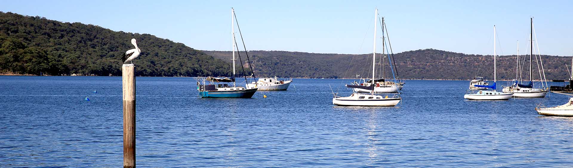
The Lower Hawkesbury Catchment includes those areas within Hornsby Shire that drain directly into the lower Hawkesbury River estuarine reaches. Broadly, it includes areas westwards and eastwards from where Berowra Creek enters the Hawkesbury River. Areas to the west include Wiseman’s Ferry, Laughtondale and Courangra Point and those to the east include Bar Point, Milsons Island, Brooklyn, Dangar Island and Gunyah Point.
Land uses in these areas include riverside settlements, small farming ventures, market gardening, marinas, boat ramps, aquaculture and fishing industries (commercial and recreational). A Waste Water Treatment Plant (WWTP) that services Brooklyn, Dangar Island, Mooney Mooney and Cheero Point discharges tertiary-treated effluent beneath Peats Ferry Bridge (below the Old Pacific Highway) into an area of strong tidal current. The Brooklyn WWTP was commissioned in 2007.
Berowra Catchment is primarily contained in the Hornsby Shire LGA and is bounded to the south by Pennant Hills Road, to the west by Castle Hill Road and Old Northern Road, to the north by Canoelands Ridge, and to the east by the Pacific Highway.
The Catchment includes a mix of land uses including rural, developed and developing urban, light industrial and commercial. It also contains significant bushland areas such as Marramarra National Park, Muogamarra Nature Reserve and Berowra Valley National Park. Urban land use dominates the south and south-eastern parts of the Catchment where most residents live. Rural land use is largely located in the north-western part of the Catchment within the Marramarra Creek subcatchment. Marramarra Creek flows to lower Berowra Creek near to its confluence with the main arm of the Hawkesbury River.
Berowra Creek is 26km long and runs generally south to north. Its lower half forms a characteristic drownedriver valley estuary of the Hawkesbury Sandstone system and its upper reaches drain the plateau. Berowra Creek is freshwater above Rocky Fall Rapids located about 3km downstream from Galston Gorge. Below Rocky Fall Rapids the creek becomes more saline and influenced by the tides. Berowra Creek has several tributary creeks including: Pyes, Georges, Waitara, Larool, Calna, Gleeson, Sams, Joe Crafts, Kimmerikong, Still, Tunks, Calabash, Glenorie, Colah, Smugglers and Marramarra. There are two large Waste Water Treatment Plants (WWTPs) located within the Berowra Creek Catchment, one at West Hornsby (discharging into Waitara Creek) and another at Hornsby Heights (discharging into Calna Creek). Waitara Creek and Calna Creek are both tributaries of Berowra Creek.
Major upgrade works (undertaken between 2001 and 2003) led to these WWTPs providing a tertiary level of treatment to sewage with additional nitrogen and phosphorus removal and disinfection. The works focused on reducing total nitrogen levels to assist in protecting the downstream Berowra Creek estuary from eutrophication and algal blooms.
Upgrades and improvements have also been made to wastewater management in the western part of the Catchment. The Galston & Glenorie Wastewater Scheme (completed in 2015) delivered wastewater services to over 600 properties in the Glenorie and Galston areas. These areas are located in the headwaters of Glenorie and Colah Creeks which are both tributaries of Marramarra Creek.
The major pressures on water quality in Berowra Creek are:
- discharges of tertiary treated sewage from the West Hornsby and Hornsby Heights WWTPs (into Waitara and Calna Creeks respectively);
- stormwater runoff from the urban and industrial land use areas located in the south and south-eastern parts of the Catchment;
- and runoff that enters Berowra, Tunks, Still, Colah and Fiddletown Creeks from the rural and peri-rural areas in the southern and western parts of the Catchment.
The Cowan Catchment includes three LGAs (namely Hornsby Shire, Ku-ring-gai and Northern Beaches Councils). The western boundary of the Catchment is defined by the Pacific Highway ridgetop which lies within Hornsby Shire. Cockle and Cowan Creeks respectively form the southern and easternmost boundaries of the Catchment areas located within Hornsby Shire.
Land uses in the southern part of the Catchment include extensive light industrial areas, large commercial shopping centres and developed urban areas. Significantly, the Hornsby Creek sub-catchment contains all three of these intensive urban land uses.
The bushland of Ku-ring-gai Chase National Park covers a large part of the Catchment.
The Lane Cove Catchment that drains into Sydney Harbour includes seven Local Government Areas with only the upper reaches of the Lane Cove River being located within Hornsby Shire LGA. This catchment also includes Byles Creek sub-catchment and those parts of the Devlins Creek sub-catchment located north of the M2 Motorway corridor (i.e. the local government boundary with Parramatta City Council).
The Catchment is highly developed and dominated by urban land use with some commercial use and includes the bushland of Lane Cove National Park. This southern part of Hornsby Shire is the only part of the LGA where stormwater runoff drains to Sydney Harbour rather than the Hawkesbury River.