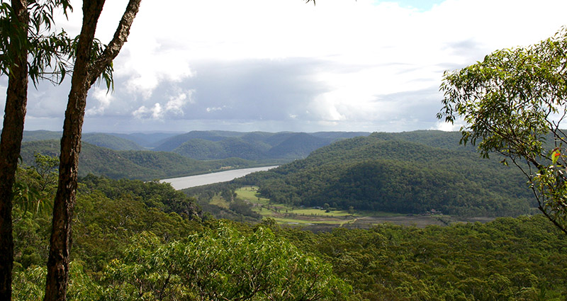
Why do we need a Bush Fire Prone Land Map?
State government laws on bush fire protection ensure that people, property and the environment are more protected against the dangers that may arise from bush fires. Bush fire prone land maps are prepared by Council in accordance with RFS mapping guidelines and certified by the Commissioner of the NSW Rural Fire Service (RFS). They are required to be reviewed every five (5) years.


