


Reference Conditions

One approach to measuring the impact of human activities on waterway health is to compare monitoring data against a ‘reference’ condition. Data from reference sites demonstrate the natural variation of water quality in creeks that have minimal human impact, providing a benchmark against which other sites can be compared. Reference sites have mostly undisturbed, bushland catchments so are not impacted by human changes in the catchment. These sites demonstrate the background temporal variation that might be expected at all sites. Monitoring reference sites is an important way to keep an eye on how waterway conditions respond to drivers outside of the immediate catchment, such as climate variability.
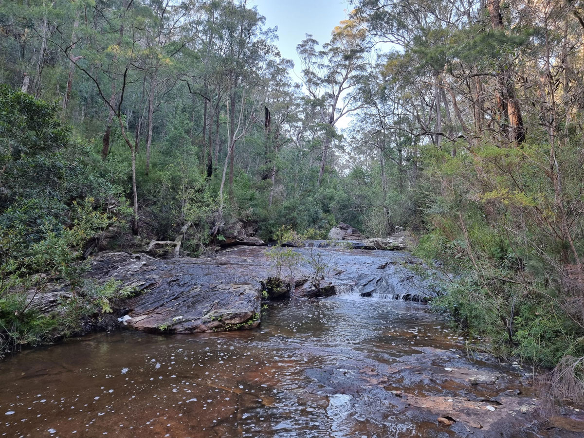
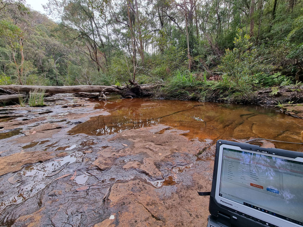
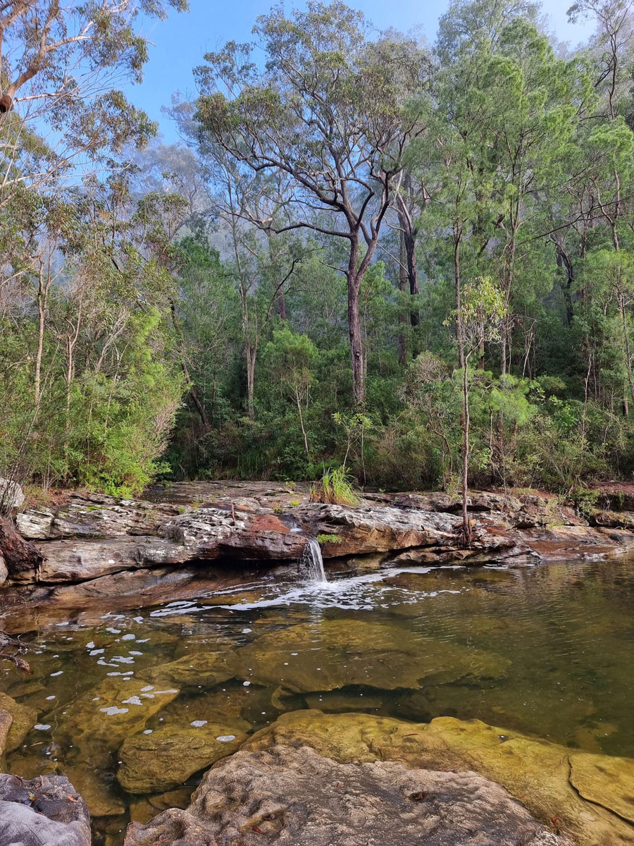
Hornsby is lucky to have a significant amount of land protected by National Parks, and Council routinely monitors 4 reference sites. The 2 principal long-term reference sites are located in the lower reaches of Marramarra and Ku-ring-gai Chase National Parks. An additional two sites were established in Muogamarra Nature Reserve and Lane Cove National Park to improve the understanding of reference conditions higher in the catchments.
These sites are monitored monthly and are characterised by low pH, low nutrient input, good clarity, and low bacteria levels. Rainfall runoff takes longer to reach these waterways, slowly permeating through the heavily vegetated catchments which also reduces the amount of sediment entering the creeks during heavy rainfall.
 |  |  |
Click on image to see larger version
Sampling parameters
- Temperature
- Electrical conductivity
- Turbidity
- Dissolved oxygen
- pH
- Salinity
- Total suspended solids
- Bacteria
- Nutrients
- Chlorophyll-a
- Alkalinity
- CBOD5 (5-day carbonaceous biological oxygen demand)
Useful links
- For results of Council’s freshwater waterway health monitoring see Waterway Health Portal
- Waterway Health Review (PDF 15.8MB)
- Industrial Sites
- Site 010 – Larool Creek, Thornleigh (PDF 661kb)
- Site 012 – Hornsby Creek, Hornsby (PDF 627kb)
- Site 013 – Sams Creek, Mount Ku-ring-gai (PDF 756kb)
- Long Term Reference Sites