Mangrove Health in the Hawkesbury: Tracking Recovery After the Floods
Between 2021 and 2022, eastern Australia experienced a series of devastating floods that left a lasting impact on our natural landscapes. One of the hardest-hit ecosystems was our mangrove forests—vital coastal habitats that help stabilise shorelines, filter water, and support marine life.
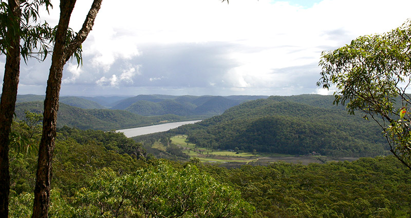
In the Hawkesbury River, these floods caused widespread thinning and dieback of mangroves across multiple estuaries. In response, Hornsby Shire Council’s Catchments team launched a long-term Mangrove Health Assessment to monitor the damage and track signs of recovery.
What We’re Doing?
- Annual Visual Surveys - Every year, we assess mangrove health along 33 kilometres of shoreline, from Bar Point to Wisemans Ferry, documenting areas of dieback and regrowth.
- Long-Term Monitoring Sites - We’ve established eight dedicated monitoring sites across the river, each representing different levels of flood impact. At these sites, we track three key indicators of mangrove health:
- Seedling numbers
- Pneumatophore density (the aerial roots that help mangroves breathe)
- Canopy cover
This data helps us understand how mangroves are responding over time and guides future restoration and protection efforts.
Why It Matters?
Healthy mangroves are essential for clean water, climate resilience, and biodiversity. By monitoring their recovery, we’re not just protecting trees—we’re safeguarding the entire river ecosystem for future generations.
Previous reports: 2021-2023 Mangrove Health Assessment Report.


