Beecroft-Cheltenham Bushland Wayfinding Signage
This project has been selected as part of the NSW Governments Places to Roam – Regional Trails program. Proudly funded by the NSW Government in association with Hornsby Shire Council, this project aims to improve the community’s health, fitness, wellbeing, sense of place, and connection with nature.
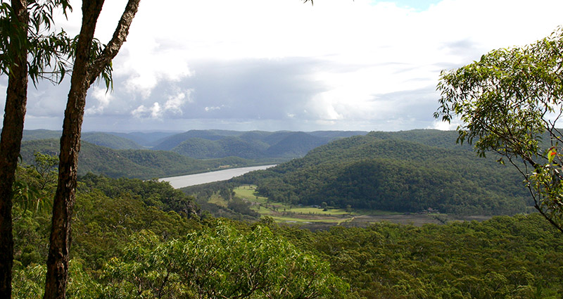
Hornsby Shire Council in partnership with City of Parramatta Council is working to refresh and expand the walking track wayfinding signage within Beecroft-Cheltenham Bushland that surrounds the M2 Motorway by installing of a range of signs for the reserve to include information such as maps, directions, track use regulations and some interpretive elements. Existing outdated, redundant, or degraded signage is proposed to be removed.
The goals of this project are to:
- Raise the community’s awareness of the local bushland, its natural values, and how it is regionally connected.
- Assist the community and visitors to navigate confidently through the reserves and use the bushland walking tracks to connect with one another and with local destinations.
- Highlight a loop walk that provides a safe and positive experience of the bushland.
- Refresh and consolidate existing signage.
If you would like to comment on this project, please visit the Have Your Say page on Council’s website, or email hsc@hornsby.nsw.gov.au and title your submission ‘Beecroft-Cheltenham Bushland Wayfinding Signage – Reference Number F2023/00260’.
Any correspondence relating to project is requested to be received by Sunday 8 October 2023. If you require any further information, please contact Stephen Pym 9847 6640 or spym@hornsby.nsw.gov.au.


